


GR_37_DD_04_Neulliac_Pontivy_20200601

patrickdanilo
User
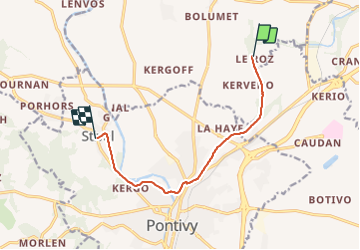

Length
8 km

Max alt
85 m

Uphill gradient
50 m
Km-Effort
8.7 km

Min alt
55 m

Downhill gradient
65 m
Boucle
No
Creation date :
2020-06-01 08:36:00.288
Updated on :
2022-02-09 13:41:43.705
1h58
Difficulty : Very easy

FREE GPS app for hiking
 SityTrail
IGN / Geographical institutes
SityTrail Plus
The world is yours!
About
Trail Walking of 8 km to be discovered at Brittany, Morbihan, Neulliac. This trail is proposed by patrickdanilo.
Description
GR®37
Cœur de la Bretagne
Du Mont-Saint-Michel (Manche) Normandie
à Camaret-sur-Mer (Finistère) Bretagne
780km
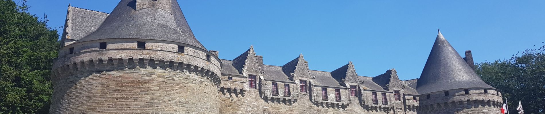
Photos


Positioning
Country:
France
Region :
Brittany
Department/Province :
Morbihan
Municipality :
Neulliac
Location:
Unknown
Start:(Dec)
Start:(UTM)
504479 ; 5327814 (30U) N.
Comments