


Deux abbayes

pilmolt
User
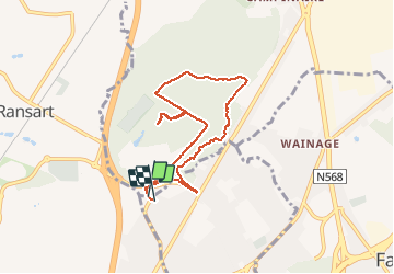

Length
6.6 km

Max alt
182 m

Uphill gradient
110 m
Km-Effort
8.1 km

Min alt
116 m

Downhill gradient
108 m
Boucle
Yes
Creation date :
2021-05-12 07:49:20.0
Updated on :
2021-05-12 09:09:35.533
1h18
Difficulty : Medium

FREE GPS app for hiking
 SityTrail
IGN / Geographical institutes
SityTrail Plus
The world is yours!
About
Trail Walking of 6.6 km to be discovered at Wallonia, Hainaut, Fleurus. This trail is proposed by pilmolt.
Description
Pierre et Bernard
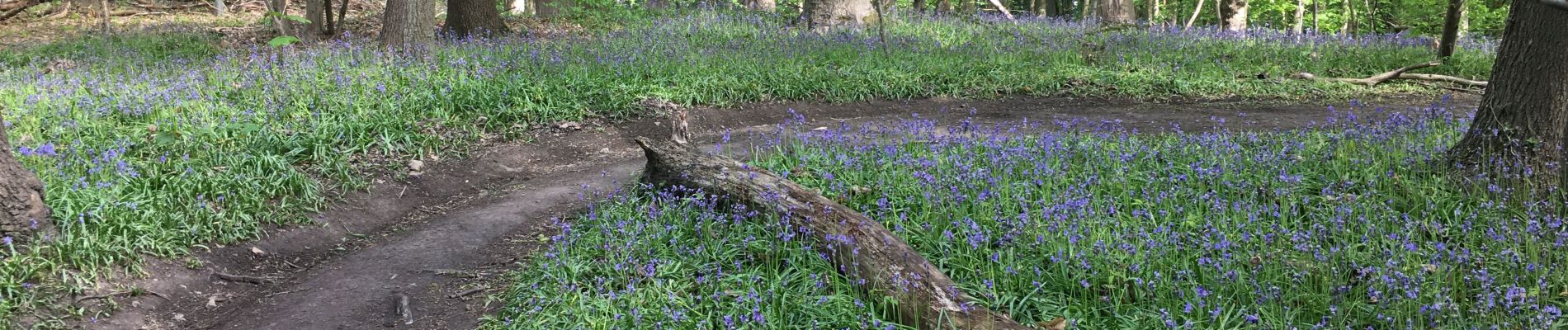
Photos


Positioning
Country:
Belgium
Region :
Wallonia
Department/Province :
Hainaut
Municipality :
Fleurus
Location:
Fleurus
Start:(Dec)
Start:(UTM)
606778 ; 5588424 (31U) N.
Comments