


20 km | 29 km-effort


Survivrez vous aux 6 jours ?


FREE GPS app for hiking
 SityTrail
IGN / Geographical institutes
SityTrail World
The world is yours!
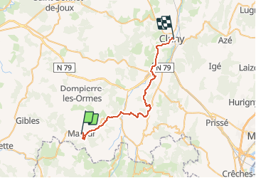
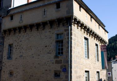
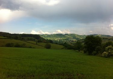
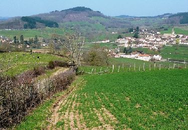
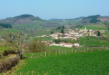
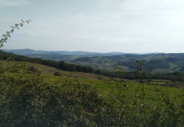
Trail Walking of 33 km to be discovered at Bourgogne-Franche-Comté, Saône-et-Loire, Matour. This trail is proposed by Les crêtes du Haut Beaujolais par le RCY 2021.
via Trambly, Lac St Point, château et tombeau de Lamartine, Ste Cécile et Jalogny
On foot
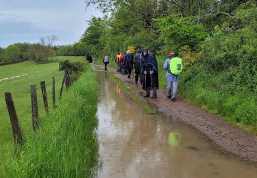
Walking
Walking
Walking
Mountain bike
Mountain bike
Walking

On foot
On foot