


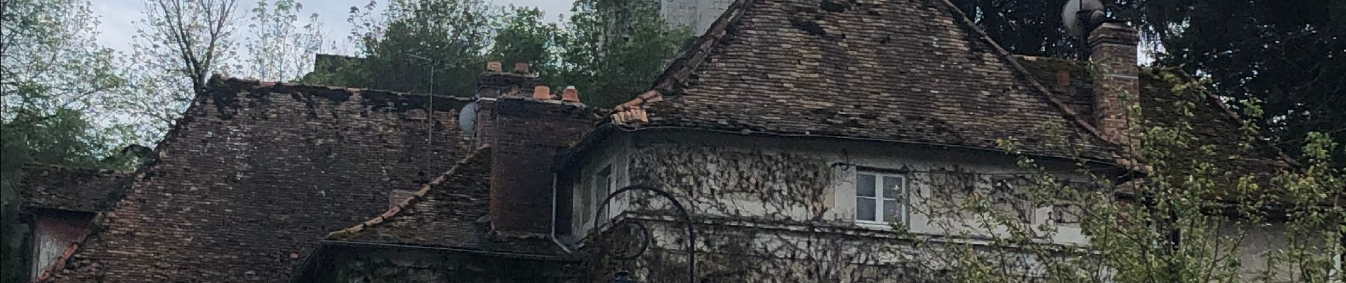
Tour Chalo Saint Mars

Fabichette
User
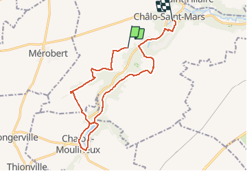

Length
15.3 km

Max alt
145 m

Uphill gradient
183 m
Km-Effort
17.9 km

Min alt
84 m

Downhill gradient
233 m
Boucle
No
Creation date :
2021-05-13 13:05:04.0
Updated on :
2021-05-13 17:44:14.898
4h03
Difficulty : Easy
3h01
Difficulty : Easy

FREE GPS app for hiking
 SityTrail
IGN / Geographical institutes
SityTrail Plus
The world is yours!
About
Trail On foot of 15.3 km to be discovered at Ile-de-France, Essonne, Chalo-Saint-Mars. This trail is proposed by Fabichette.
Description
Très joli avec beaucoup de chemin forestiers et champêtres
Photos


Positioning
Country:
France
Region :
Ile-de-France
Department/Province :
Essonne
Municipality :
Chalo-Saint-Mars
Location:
Unknown
Start:(Dec)
Start:(UTM)
429402 ; 5363105 (31U) N.
Comments