


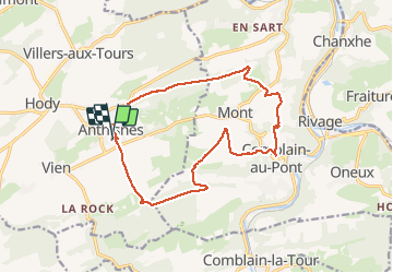
Anthines - Comblain-au-Pont

floflo61
User

Length
14.3 km

Max alt
279 m

Uphill gradient
334 m
Km-Effort
18.7 km

Min alt
118 m

Downhill gradient
334 m
Boucle
Yes
Creation date :
2021-05-14 11:00:03.773
Updated on :
2021-05-15 07:25:16.991
3h12
Difficulty : Easy

FREE GPS app for hiking
 SityTrail
IGN / Geographical institutes
SityTrail Plus
The world is yours!
About
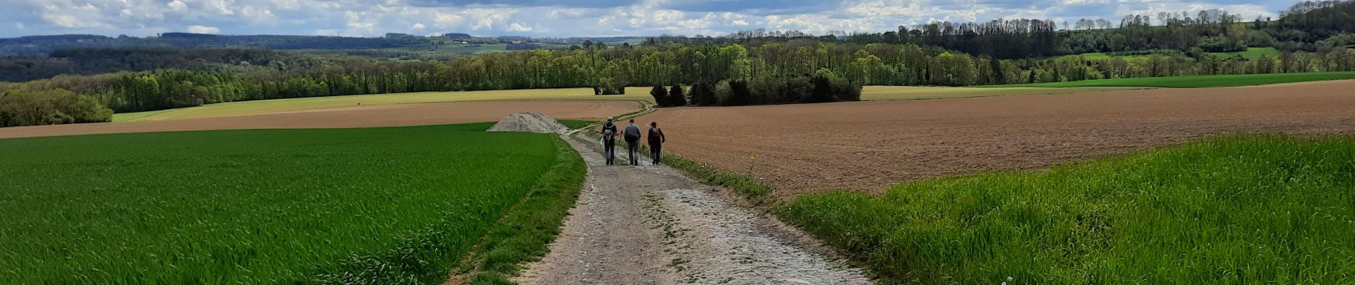
Trail Walking of 14.3 km to be discovered at Wallonia, Liège, Anthisnes. This trail is proposed by floflo61.
Photos


Positioning
Country:
Belgium
Region :
Wallonia
Department/Province :
Liège
Municipality :
Anthisnes
Location:
Anthisnes
Start:(Dec)
Start:(UTM)
678984 ; 5594975 (31U) N.
Comments