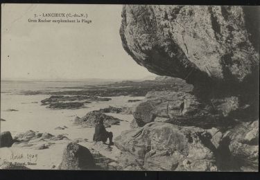
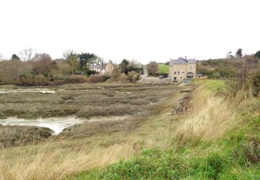
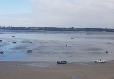
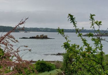
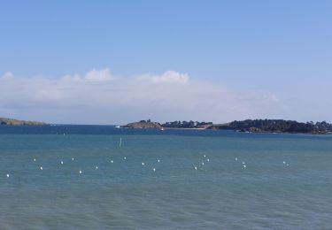
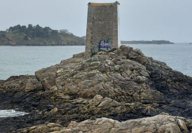
Trail Walking Lancieux - w-frankrijk-rondom-lancieux - Photo

w-frankrijk-rondom-lancieux

© OpenStreetMap contributors
Length
Length
13 km
Max alt
Max alt
31 m
Uphill gradient
Uphill gradient
124 m
Km-Effort
Km-Effort  
14.6 km
Min alt
Min alt
0 m
Downhill gradient
Downhill gradient
109 m
Boucle
Boucle
No
Creation date :
2014-12-10 00:00:00.0
Updated on :
2014-12-10 00:00:00.0

(0 Reviews)

Walking
Walking
--
Difficulty : Unknown

Scan this QR Code to open this trail in the SityTrail application

FREE GPS app for hiking

Logo SityTrail SityTrail

IGN / Geographical institutes

Download SityTrail from the App Store Download SityTrail from Google Play

Logo SityTrail SityTrail World

The world is yours!

Download SityTrail from the App Store Download SityTrail from Google Play Download SityTrail on Huawei AppGallery

About

Trail Walking of 13 km to be discovered at Brittany, Côtes-d'Armor, Lancieux. This trail is proposed by gpstracks.

Description

More information on GPStracks.nl : http://www.gpstracks.nl

Elevation profile

Points of interest

Point of interest Lancieux - Bier! - Photo
gpstracks
LANCIEUX 
Point of interest Lancieux - Bodard - Photo
gpstracks
LANCIEUX 
Point of interest Lancieux - Delta van de Fremur - Photo
gpstracks
Point of interest Lancieux - Doitelle - Photo
gpstracks
LANCIEUX 
Point of interest Lancieux - La Chambre - Photo
gpstracks
LANCIEUX 
Point of interest Lancieux - La Ville Gator - Photo
gpstracks
LANCIEUX 
Point of interest Lancieux - La Ville Neuve - Photo
gpstracks
LANCIEUX 
Point of interest Lancieux - L'Anerie - Photo
gpstracks
LANCIEUX 
Point of interest Lancieux - Le tetre Corlieu 1 - Photo
gpstracks
Point of interest Lancieux - Le tetre Corlieux 2 - Photo
gpstracks
Point of interest Lancieux - Omleiding bij hoog water - Photo
gpstracks
Point of interest Lancieux - Parkeerplaats Kerk - Photo
gpstracks
Point of interest Lancieux - Parkeerplaats VVV - Photo
gpstracks
Point of interest Lancieux - Picnicplek met bankje - Photo
gpstracks
Point of interest Lancieux - Plage Des Briantais - Photo
gpstracks
Point of interest Lancieux - Plage Saint-Sieuc - Photo
gpstracks
Point of interest Lancieux - Pointe de Buglais - Photo
gpstracks
Point of interest Lancieux - Tête de Chien - Photo
gpstracks
LANCIEUX 
Point of interest Lancieux - Trapje - Photo
gpstracks
LANCIEUX 

Positioning

Country:
France
Region :
Brittany
Department/Province :
Côtes-d'Armor
Municipality :
Lancieux
Location:
Unknown
Start:(UTM)
564083 ; 5383962 (30U) N.

Trails nearby

Trail On foot Lancieux - Chemin des Poissoniers - Photo
On foot
PRO

On foot

Easy
Lancieux, Brittany, Côtes-d'Armor, France
7.3 km | 8.3 km-effort
1h 52min
Yes
Trail On foot Lancieux - Autour de Lancieux - Photo
On foot
PRO

On foot

Easy
Lancieux, Brittany, Côtes-d'Armor, France
10.9 km | 12.2 km-effort
2h 45min
Yes
Trail Walking Saint-Lunaire - GR34 Etape 6 Saint Lunaire Saint Jacut 17.10.2020 - Photo
Walking
GUIDE
Kargil

Walking

Difficult
Saint-Lunaire, Brittany, Ille-et-Vilaine, France
29 km | 32 km-effort
6h 48min
No
Trail Walking Lancieux - lancieux - Photo
Walking
JCLEF

Walking

Easy
(2)
Lancieux, Brittany, Côtes-d'Armor, France
11.7 km | 13 km-effort
2h 47min
Yes
Trail Mountain bike Dinard - caval - Photo
Mountain bike
tridimeg

Mountain bike

Easy
(1)
Dinard, Brittany, Ille-et-Vilaine, France
25 km | 27 km-effort
1h 33min
Yes
Trail Walking Saint-Briac-sur-Mer - Saint-Briac(boucle) - Photo
Walking
douneto

Walking

Easy
(1)
Saint-Briac-sur-Mer, Brittany, Ille-et-Vilaine, France
11.9 km | 13.8 km-effort
3h 3min
Yes
Trail Walking Saint-Jacut-de-la-Mer - GR_34_BC_09_St-Jacut-De-La-Mer_St-Cast-Le-Guildo_20230506 - Photo
Walking
patrickdanilo

Walking

Easy
Saint-Jacut-de-la-Mer, Brittany, Côtes-d'Armor, France
18.4 km | 23 km-effort
5h 9min
No
Trail Walking Lancieux - GR_34_BB_08_Lancieux_St-Jacut-De-La-Mer_20230412 - Photo
Walking
patrickdanilo

Walking

Difficult
Lancieux, Brittany, Côtes-d'Armor, France
15.9 km | 17.8 km-effort
4h 2min
No
Trail Walking Dinard - GR_34_BA_07_Dinard_Lancieux_20230411 - Photo
Walking
patrickdanilo

Walking

Difficult
Dinard, Brittany, Ille-et-Vilaine, France
14 km | 16.7 km-effort
3h 48min
No


Close
My subscriptions