


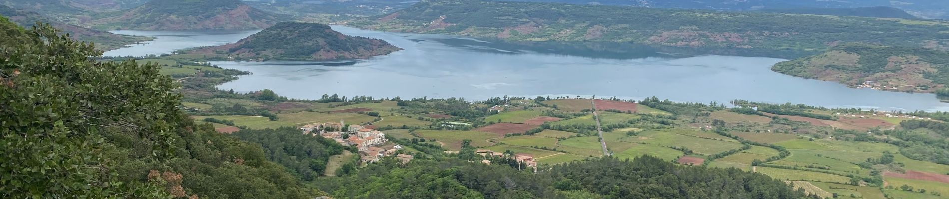
Montagne de Liausson depuis Mourèze

philvidal
User


2h45
Difficulty : Difficult

FREE GPS app for hiking
 SityTrail
IGN / Geographical institutes
SityTrail Plus
The world is yours!
About
Trail Walking of 8.3 km to be discovered at Occitania, Hérault, Mourèze. This trail is proposed by philvidal.
Description
Départ du magnifique village de Mourèze
Boucle qui monte à la montagne de Liausson avec super point de vue sur le lac du Salagou.
Chemin souvent très étroit et très caillouteux
Environ 2h30- 3h en profitant des points de vue car difficile de marcher très vite
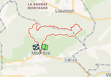
Circuit de 8.5km et 400 m de dénivelé.
Photos

Positioning
Comments
Merci pour cette randonnée.