


Voie du tram en circuit partiel

Emelle
User


2h45
Difficulty : Easy

FREE GPS app for hiking
 SityTrail
IGN / Geographical institutes
SityTrail Plus
The world is yours!
About
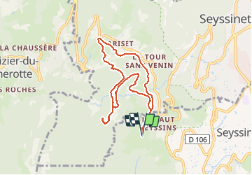
Trail Nordic walking of 8.3 km to be discovered at Auvergne-Rhône-Alpes, Isère, Seyssins. This trail is proposed by Emelle.
Description
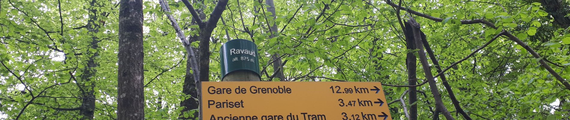
Au départ des Hauts de Seyssins, belle boucle jusqu'au Ravaud.
Descente par un nouveau chemin bien adaptée à la MN mais qui arrive dans une propriété privée : une colonie de vacances où on a réussi à sortir par un passage étroit au niveau d'un portail à droite.
Photos

Positioning
Comments