


moustiers_le ravin de notre dame

bernir
User
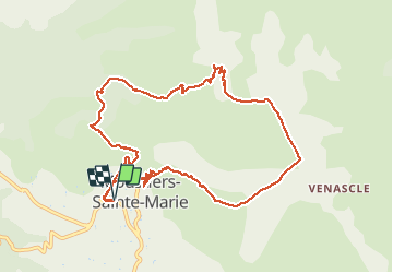

Length
11.5 km

Max alt
986 m

Uphill gradient
540 m
Km-Effort
18.7 km

Min alt
567 m

Downhill gradient
542 m
Boucle
Yes
Creation date :
2021-05-20 07:45:37.789
Updated on :
2021-05-21 12:01:22.006
9h25
Difficulty : Medium

FREE GPS app for hiking
 SityTrail
IGN / Geographical institutes
SityTrail Plus
The world is yours!
About
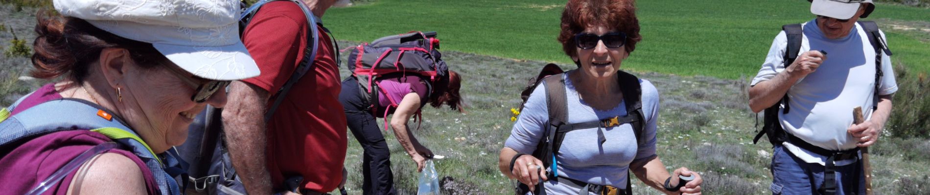
Trail Walking of 11.5 km to be discovered at Provence-Alpes-Côte d'Azur, Alpes-de-Haute-Provence, Moustiers-Sainte-Marie. This trail is proposed by bernir.
Photos


Positioning
Country:
France
Region :
Provence-Alpes-Côte d'Azur
Department/Province :
Alpes-de-Haute-Provence
Municipality :
Moustiers-Sainte-Marie
Location:
Unknown
Start:(Dec)
Start:(UTM)
276370 ; 4858440 (32T) N.
Comments