


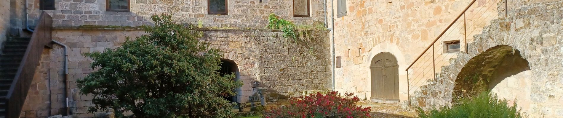
St beauz cloître beaumette St b

lablaquiere
User
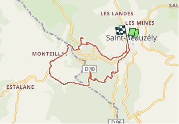

Length
8.5 km

Max alt
878 m

Uphill gradient
299 m
Km-Effort
12.5 km

Min alt
603 m

Downhill gradient
310 m
Boucle
Yes
Creation date :
2021-05-21 06:37:08.796
Updated on :
2021-05-21 08:40:47.421
1h46
Difficulty : Difficult

FREE GPS app for hiking
 SityTrail
IGN / Geographical institutes
SityTrail Plus
The world is yours!
About
Trail Walking of 8.5 km to be discovered at Occitania, Aveyron, Saint-Beauzély. This trail is proposed by lablaquiere.
Photos


Positioning
Country:
France
Region :
Occitania
Department/Province :
Aveyron
Municipality :
Saint-Beauzély
Location:
Unknown
Start:(Dec)
Start:(UTM)
496633 ; 4890296 (31T) N.
Comments
Impossible de trouver le chemin au niveau de beaumette