


4.2 km | 6.8 km-effort

User GUIDE


FREE GPS app for hiking
 SityTrail
IGN / Geographical institutes
SityTrail World
The world is yours!
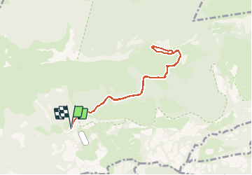
Trail On foot of 8.2 km to be discovered at Occitania, Hautespyrenees, Salles. This trail is proposed by marmotte65.
pour accéder au départ de la rando les coordonnées suivantes
N43 01 17.1 W 000 10 50.8
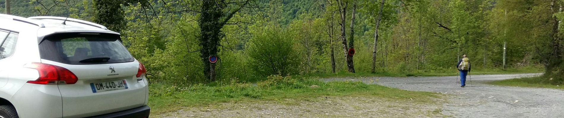
à Gez Argeles prendre la direction du col des spandelles et quelques kilomètres plus haut prendre une piste à droite sachant que tout droit un panneau indique le refuge de Hougarou. 1.3 km plus loin un petit parking sur votre gauche juste devant un barrière qui ferme un piste.
On essaiera de faire le tour du sou de Liez avec le G3 en Octobre 2021
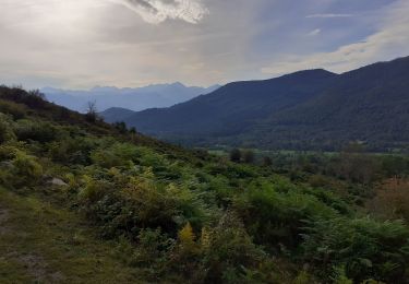
 2796042 - Photo 1")
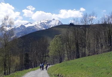
 2796042 - Photo 2")
 2796042 - Photo 3")
 2796042 - Photo 4")
 2796042 - Photo 5")
 2796042 - Photo 6")
 2796042 - Photo 7")
 2796042 - Photo 8")
 2796042 - Photo 9")
 2796042 - Photo 10")

Walking

Snowshoes
Walking
On foot
Walking

Walking

Winter sports
Winter sports
Walking