


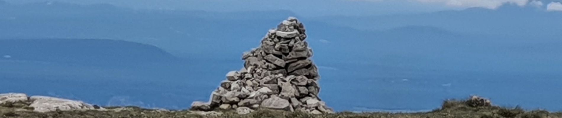
GR4 Jour 6 Les Chauvets - Mont Chiran 22-05-2021
Aux croisées des GR
Faites confiance au hasard des rencontres

Length
11.6 km

Max alt
1897 m

Uphill gradient
641 m
Km-Effort
20 km

Min alt
1253 m

Downhill gradient
639 m
Boucle
Yes
Creation date :
2021-05-22 07:37:14.529
Updated on :
2021-05-28 05:39:34.993
2h58
Difficulty : Medium

FREE GPS app for hiking
 SityTrail
IGN / Geographical institutes
SityTrail Plus
The world is yours!
About
Trail Walking of 11.6 km to be discovered at Provence-Alpes-Côte d'Azur, Alpes-de-Haute-Provence, La Palud-sur-Verdon. This trail is proposed by Aux croisées des GR.
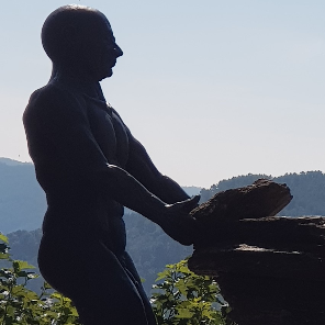
Photos


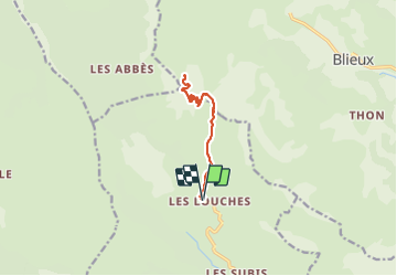
Positioning
Country:
France
Region :
Provence-Alpes-Côte d'Azur
Department/Province :
Alpes-de-Haute-Provence
Municipality :
La Palud-sur-Verdon
Location:
Châteauneuf-lès-Moustiers
Start:(Dec)
Start:(UTM)
284751 ; 4857633 (32T) N.
Comments