


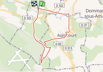

7 km | 8.6 km-effort


User


FREE GPS app for hiking
 SityTrail
IGN / Geographical institutes
SityTrail World
The world is yours!
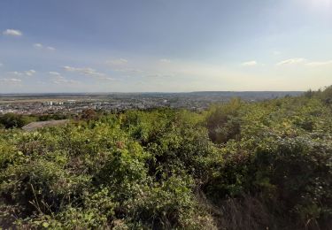
Trail Walking of 7.7 km to be discovered at Grand Est, Meurthe-et-Moselle, Eulmont. This trail is proposed by joelclaudel.
Sentier n°1 du livret "les randonnées du Grand Couronné.
Variante en fin de parcours pour éviterla voie verte

On foot

On foot
Bicycle tourism

On foot
On foot
On foot

Walking
Walking

Hybrid bike