


rulles semois mellier

Maca8284
User
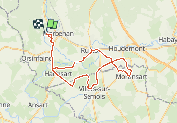

Length
16.8 km

Max alt
379 m

Uphill gradient
186 m
Km-Effort
19.3 km

Min alt
331 m

Downhill gradient
188 m
Boucle
Yes
Creation date :
2021-05-23 06:49:04.475
Updated on :
2021-05-23 10:39:09.446
3h48
Difficulty : Very difficult

FREE GPS app for hiking
 SityTrail
IGN / Geographical institutes
SityTrail Plus
The world is yours!
About
Trail Walking of 16.8 km to be discovered at Wallonia, Luxembourg, Habay. This trail is proposed by Maca8284.
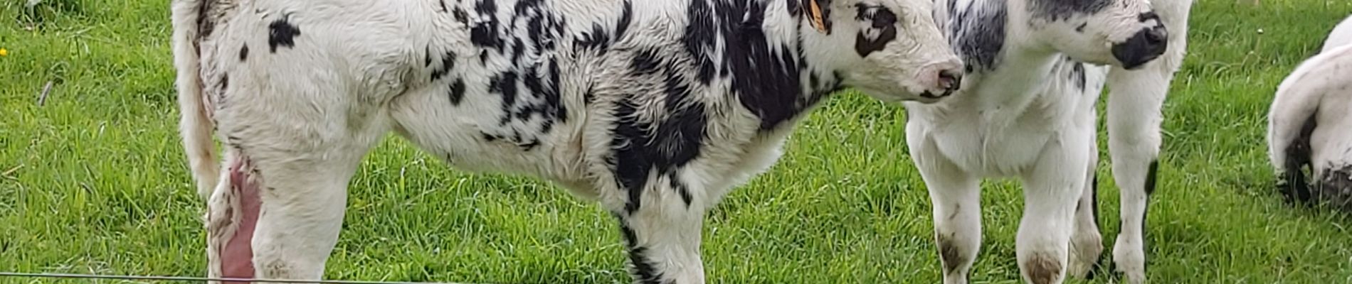
Photos


Positioning
Country:
Belgium
Region :
Wallonia
Department/Province :
Luxembourg
Municipality :
Habay
Location:
Rulles
Start:(Dec)
Start:(UTM)
682162 ; 5511093 (31U) N.
Comments