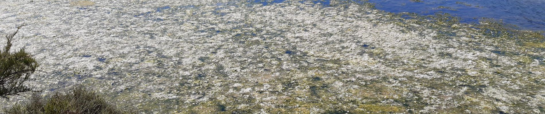
Sentier des sauniers

Fky78
User
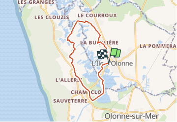

Length
12.3 km

Max alt
15 m

Uphill gradient
46 m
Km-Effort
12.9 km

Min alt
-2 m

Downhill gradient
45 m
Boucle
Yes
Creation date :
2021-05-25 13:08:43.013
Updated on :
2021-05-25 18:22:24.259
2h50
Difficulty : Easy

FREE GPS app for hiking
 SityTrail
IGN / Geographical institutes
SityTrail Plus
The world is yours!
About
Trail Walking of 12.3 km to be discovered at Pays de la Loire, Vendée, L'Île-d'Olonne. This trail is proposed by Fky78.
Photos

Positioning
Country:
France
Region :
Pays de la Loire
Department/Province :
Vendée
Municipality :
L'Île-d'Olonne
Location:
Unknown
Start:(Dec)
Start:(UTM)
593133 ; 5157127 (30T) N.
Comments