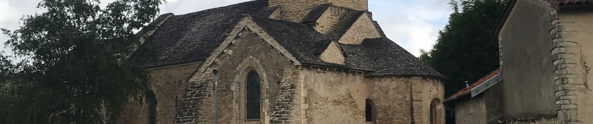
IGÉ (16 km - D. 420 m)

Thomasdanielle
User


Length
16.1 km

Max alt
409 m

Uphill gradient
420 m
Km-Effort
22 km

Min alt
229 m

Downhill gradient
421 m
Boucle
Yes
Creation date :
2021-05-27 08:34:08.0
Updated on :
2021-09-29 10:32:18.029
4h54
Difficulty : Medium

FREE GPS app for hiking
 SityTrail
IGN / Geographical institutes
SityTrail Plus
The world is yours!
About
Trail Walking of 16.1 km to be discovered at Bourgogne-Franche-Comté, Saône-et-Loire, Igé. This trail is proposed by Thomasdanielle.
Description
D/A parking Ecole
Photos
 - Photo 1")
 - Photo 2")
 - Photo 3")
 - Photo 4")
 - Photo 5")
Positioning
Country:
France
Region :
Bourgogne-Franche-Comté
Department/Province :
Saône-et-Loire
Municipality :
Igé
Location:
Unknown
Start:(Dec)
Start:(UTM)
634082 ; 5139790 (31T) N.
Comments