


11.7 km | 14.9 km-effort


User


FREE GPS app for hiking
 SityTrail
IGN / Geographical institutes
SityTrail World
The world is yours!
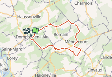
Trail Walking of 13.8 km to be discovered at Grand Est, Meurthe-et-Moselle, Domptail-en-l'Air. This trail is proposed by Nila81.
Mountain bike

Walking

Road bike
Walking
Walking
Walking
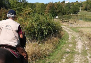
Horseback riding
Walking
Walking