


R borne st laurent nd des neiges pratazanier

07es18
User
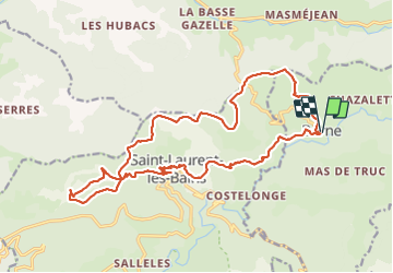

Length
22 km

Max alt
1361 m

Uphill gradient
968 m
Km-Effort
35 km

Min alt
847 m

Downhill gradient
966 m
Boucle
Yes
Creation date :
2021-05-27 07:19:54.242
Updated on :
2021-05-28 06:17:09.794
6h22
Difficulty : Difficult

FREE GPS app for hiking
 SityTrail
IGN / Geographical institutes
SityTrail Plus
The world is yours!
About
Trail Walking of 22 km to be discovered at Auvergne-Rhône-Alpes, Ardèche, Borne. This trail is proposed by 07es18.
Positioning
Country:
France
Region :
Auvergne-Rhône-Alpes
Department/Province :
Ardèche
Municipality :
Borne
Location:
Unknown
Start:(Dec)
Start:(UTM)
580564 ; 4940658 (31T) N.
Comments