


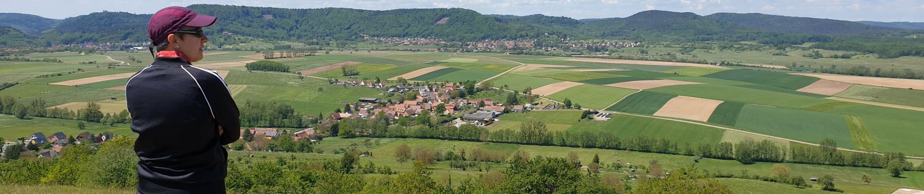
Le Bastberg depuis Dossenheim-sur-Zinsel

VacheKiri67
User


4h30
Difficulty : Medium

FREE GPS app for hiking
 SityTrail
IGN / Geographical institutes
SityTrail Plus
The world is yours!
About
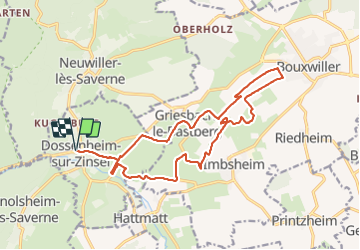
Trail Walking of 17.5 km to be discovered at Grand Est, Bas-Rhin, Dossenheim-sur-Zinsel. This trail is proposed by VacheKiri67.
Description
Faite le 29/05/2021. Au départ de Dossenheim-sur-Zinsel.
D'après "Passion Vosges - Nos 50 plus belles randonnées" N°45 : Le Bastberg depuis Dossenheim-sur-Zinsel.
Mais nous avons étendu ce circuit vers Bouxwiller par l'anneau jaune.
Photos


27 photos in total. Please click on a photo to see them all in the gallery.
Positioning
Comments