


Pointe 4 cantons

jouans
User GUIDE
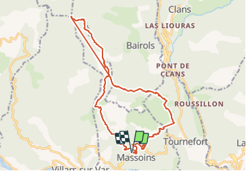

Length
21 km

Max alt
1791 m

Uphill gradient
1570 m
Km-Effort
42 km

Min alt
360 m

Downhill gradient
1563 m
Boucle
Yes
Creation date :
2021-05-29 06:34:40.0
Updated on :
2021-05-29 14:51:09.661
5h50
Difficulty : Very difficult

FREE GPS app for hiking
 SityTrail
IGN / Geographical institutes
SityTrail Plus
The world is yours!
About
Trail Walking of 21 km to be discovered at Provence-Alpes-Côte d'Azur, Maritime Alps, Massoins. This trail is proposed by jouans.
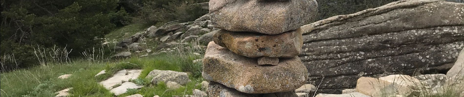
Photos

Positioning
Country:
France
Region :
Provence-Alpes-Côte d'Azur
Department/Province :
Maritime Alps
Municipality :
Massoins
Location:
Unknown
Start:(Dec)
Start:(UTM)
349395 ; 4867249 (32T) N.
Comments