


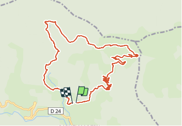


13.6 km | 18.2 km-effort

User GUIDE


FREE GPS app for hiking
 SityTrail
IGN / Geographical institutes
SityTrail World
The world is yours!
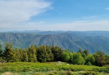
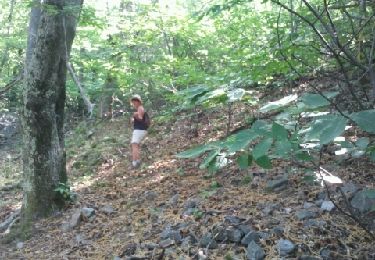
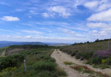
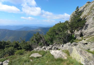
Trail Walking of 13.7 km to be discovered at Auvergne-Rhône-Alpes, Ardèche, Valgorge. This trail is proposed by nadinebondoux.
départ Parking Chalas , Valdegorge


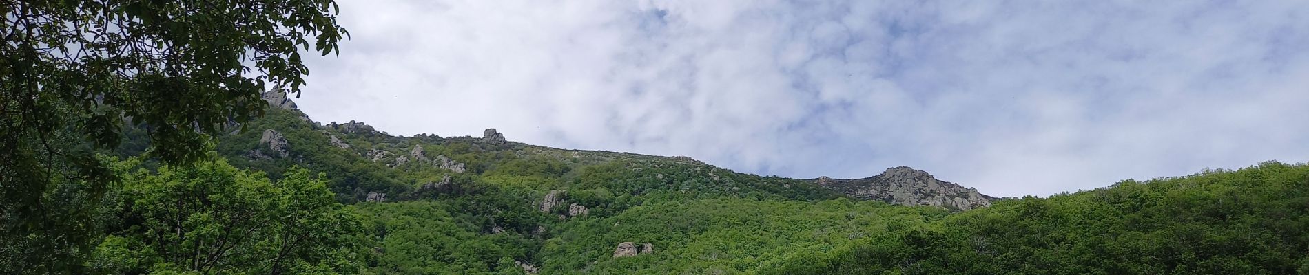
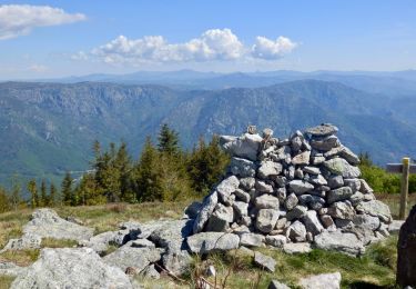
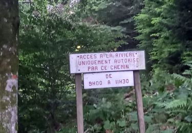
26 photos in total. Please click on a photo to see them all in the gallery.

Walking
On foot
Walking
Walking

On foot

Mountain bike
Walking
Walking
Walking