


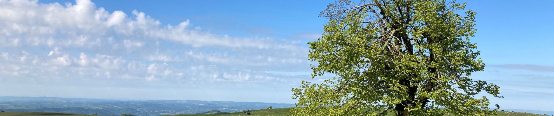
Arbre de quenouille, rocher saint curial, col de berganti

impradine
User
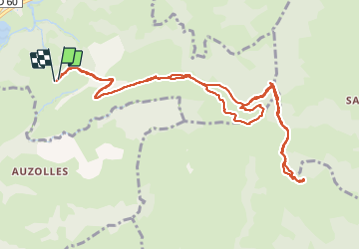

Length
12.8 km

Max alt
1260 m

Uphill gradient
458 m
Km-Effort
19 km

Min alt
943 m

Downhill gradient
462 m
Boucle
Yes
Creation date :
2021-05-31 07:13:04.0
Updated on :
2021-05-31 15:48:04.35
3h37
Difficulty : Easy

FREE GPS app for hiking
 SityTrail
IGN / Geographical institutes
SityTrail Plus
The world is yours!
About
Trail Walking of 12.8 km to be discovered at Auvergne-Rhône-Alpes, Cantal, Lascelle. This trail is proposed by impradine.
Description
Attention nombreux troupeaux.
Photos


Positioning
Country:
France
Region :
Auvergne-Rhône-Alpes
Department/Province :
Cantal
Municipality :
Lascelle
Location:
Unknown
Start:(Dec)
Start:(UTM)
466287 ; 4984176 (31T) N.
Comments