


Randonnée décompression massive

GabyG
User GUIDE


Length
3.8 km

Max alt
38 m

Uphill gradient
48 m
Km-Effort
4.5 km

Min alt
0 m

Downhill gradient
49 m
Boucle
Yes
Creation date :
2021-05-31 19:01:36.03
Updated on :
2021-05-31 20:23:38.894
1h54
Difficulty : Easy

FREE GPS app for hiking
 SityTrail
IGN / Geographical institutes
SityTrail Plus
The world is yours!
About
Trail Walking of 3.8 km to be discovered at Martinique, Unknown, Sainte-Anne. This trail is proposed by GabyG.
Description
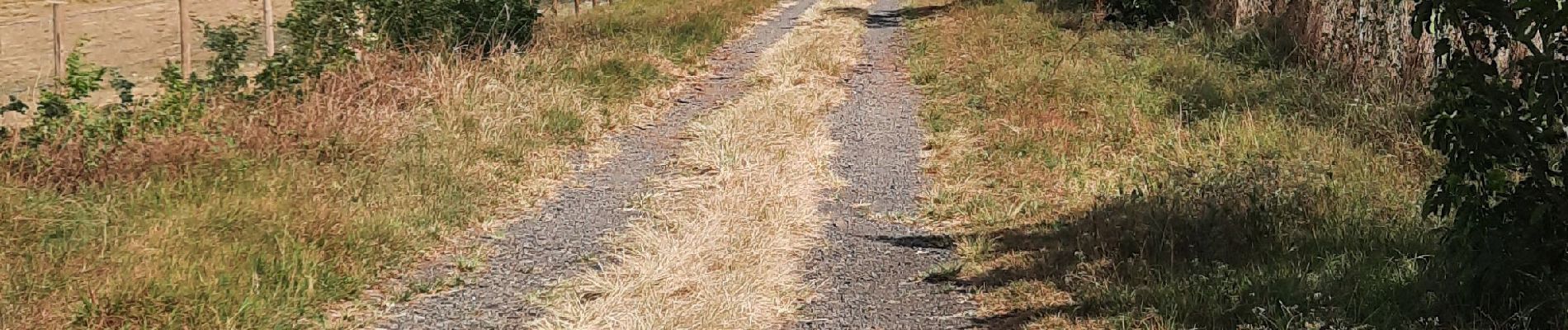
Belle promenade mi sport, mi balade... pas trop loin du bourg et de sa magnifique plage.
Photos


Positioning
Country:
France
Region :
Martinique
Department/Province :
Unknown
Municipality :
Sainte-Anne
Location:
Unknown
Start:(Dec)
Start:(UTM)
728468 ; 1598014 (20P) N.
Comments