


Sou elles

bubuserge
User
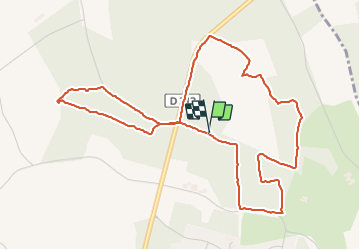

Length
5.7 km

Max alt
57 m

Uphill gradient
58 m
Km-Effort
6.5 km

Min alt
29 m

Downhill gradient
57 m
Boucle
Yes
Creation date :
2021-06-01 07:15:12.0
Updated on :
2021-06-01 08:50:45.713
1h34
Difficulty : Medium

FREE GPS app for hiking
 SityTrail
IGN / Geographical institutes
SityTrail Plus
The world is yours!
About
Trail Walking of 5.7 km to be discovered at Pays de la Loire, Maine-et-Loire, Rives-du-Loir-en-Anjou. This trail is proposed by bubuserge.
Positioning
Country:
France
Region :
Pays de la Loire
Department/Province :
Maine-et-Loire
Municipality :
Rives-du-Loir-en-Anjou
Location:
Soucelles
Start:(Dec)
Start:(UTM)
694033 ; 5274149 (30T) N.
Comments