


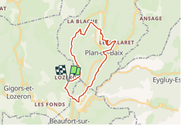
Plan de Baix Croix du Velan

TOULAUDIN
User


5h16
Difficulty : Medium

FREE GPS app for hiking
 SityTrail
IGN / Geographical institutes
SityTrail Plus
The world is yours!
About
Trail Walking of 15.3 km to be discovered at Auvergne-Rhône-Alpes, Drôme, Gigors-et-Lozeron. This trail is proposed by TOULAUDIN.
Description
trace enregistrée en réel le 2/6/21 départ au pied du village de LOZERON pas de difficultés.les 7 premiers KM sont su chemin
très fleuris à cette saison ( rando déjà effectuée en Déc 2015)
sur le retour beaucoup de parties ombragées mais à éviter par forte chaleur
Positioning
Comments