


Arzenc de Rendon

FLORENSAC
User
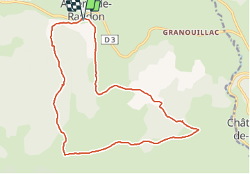

Length
10.6 km

Max alt
1381 m

Uphill gradient
290 m
Km-Effort
14.5 km

Min alt
1174 m

Downhill gradient
292 m
Boucle
Yes
Creation date :
2021-06-03 12:22:25.054
Updated on :
2021-06-03 15:32:50.255
3h09
Difficulty : Easy

FREE GPS app for hiking
 SityTrail
IGN / Geographical institutes
SityTrail Plus
The world is yours!
About
Trail Walking of 10.6 km to be discovered at Occitania, Lozère, Arzenc-de-Randon. This trail is proposed by FLORENSAC.
Description
petite rando sympa
2 petites cotes
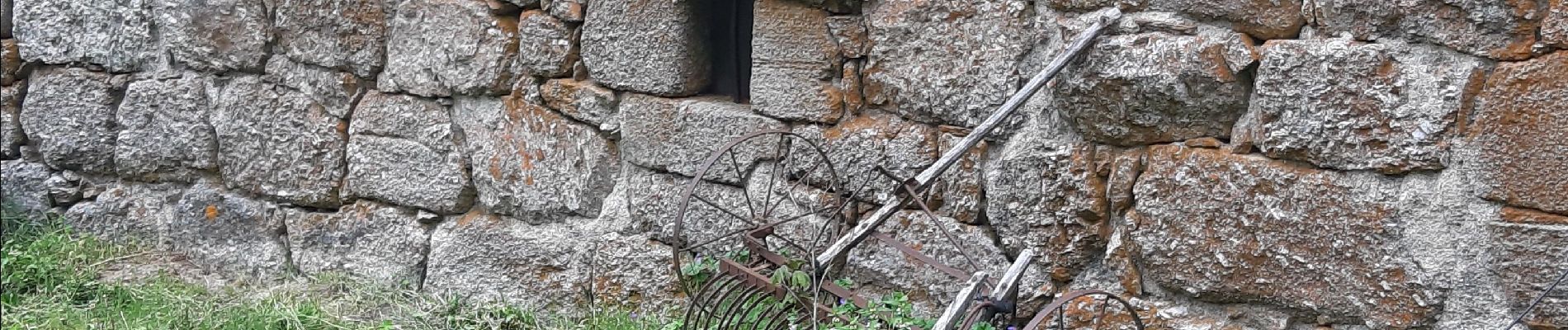
Photos


Positioning
Country:
France
Region :
Occitania
Department/Province :
Lozère
Municipality :
Arzenc-de-Randon
Location:
Unknown
Start:(Dec)
Start:(UTM)
550087 ; 4945378 (31T) N.
Comments