


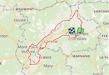

11.1 km | 14.5 km-effort

User


FREE GPS app for hiking
 SityTrail
IGN / Geographical institutes
SityTrail World
The world is yours!
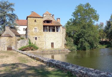
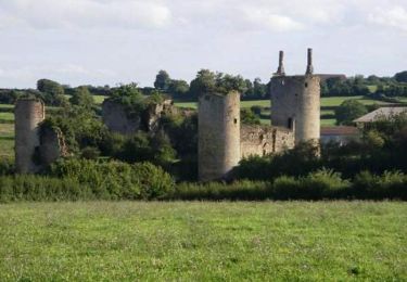
Trail Walking of 19.4 km to be discovered at Bourgogne-Franche-Comté, Saône-et-Loire, Collonge-en-Charollais. This trail is proposed by grasgilbert.
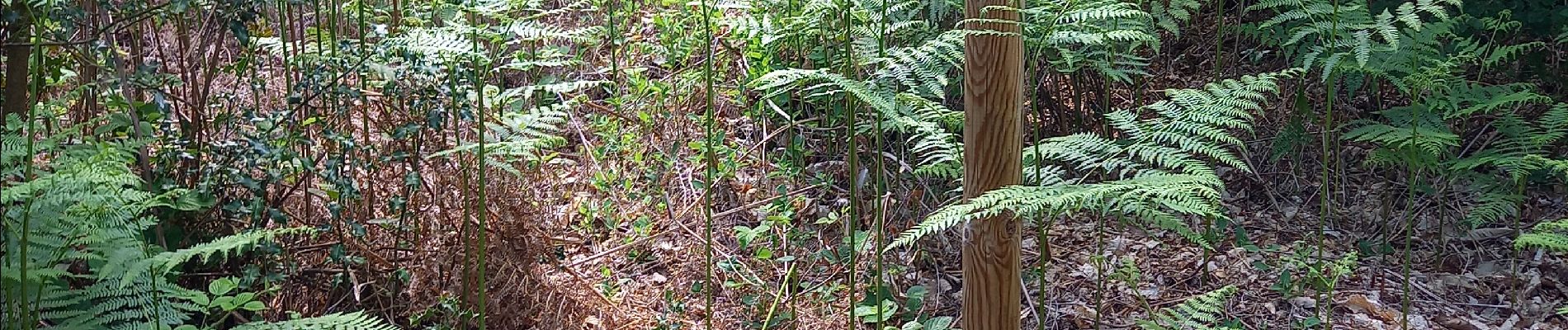
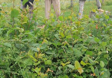
ne pas faire à l'envers montée le matin et descente à l'ombre l'après midi


Walking

Walking
Walking
Walking

Walking
Walking
Walking
Walking
Equestrian
très bien