


plan de parouart

Dervalmarc
User
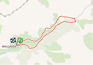

Length
9.5 km

Max alt
2089 m

Uphill gradient
251 m
Km-Effort
12.9 km

Min alt
1910 m

Downhill gradient
251 m
Boucle
Yes
Creation date :
2014-12-10 00:00:00.0
Updated on :
2014-12-10 00:00:00.0
3h09
Difficulty : Unknown

FREE GPS app for hiking
 SityTrail
IGN / Geographical institutes
SityTrail Plus
The world is yours!
About
Trail Walking of 9.5 km to be discovered at Provence-Alpes-Côte d'Azur, Alpes-de-Haute-Provence, Saint-Paul-sur-Ubaye. This trail is proposed by Dervalmarc.
Description
Très jolie ballade à faire en début de saison. A Maurin grande faune abondante (Chevreuils, Bouquetins, Marmottes, Chamois. )
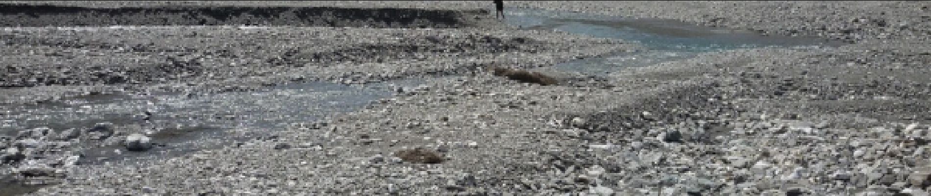
Photos


Positioning
Country:
France
Region :
Provence-Alpes-Côte d'Azur
Department/Province :
Alpes-de-Haute-Provence
Municipality :
Saint-Paul-sur-Ubaye
Location:
Unknown
Start:(Dec)
Start:(UTM)
329160 ; 4940043 (32T) N.
Comments