


Château-Thierry du 06-06-2021

VANDERPUTTENMi
User GUIDE
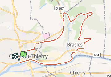

Length
11 km

Max alt
159 m

Uphill gradient
174 m
Km-Effort
13.3 km

Min alt
56 m

Downhill gradient
175 m
Boucle
Yes
Creation date :
2021-06-06 06:59:49.037
Updated on :
2021-06-06 18:28:18.42
2h57
Difficulty : Difficult

FREE GPS app for hiking
 SityTrail
IGN / Geographical institutes
SityTrail Plus
The world is yours!
About
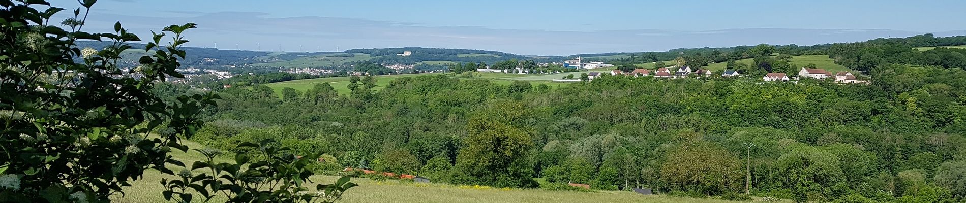
Trail Walking of 11 km to be discovered at Hauts-de-France, Aisne, Château-Thierry. This trail is proposed by VANDERPUTTENMi.
Photos

Positioning
Country:
France
Region :
Hauts-de-France
Department/Province :
Aisne
Municipality :
Château-Thierry
Location:
Unknown
Start:(Dec)
Start:(UTM)
529061 ; 5432416 (31U) N.
Comments