


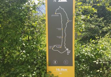
11.2 km | 19.6 km-effort

User


FREE GPS app for hiking
 SityTrail
IGN / Geographical institutes
SityTrail World
The world is yours!
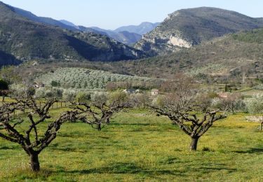
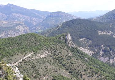
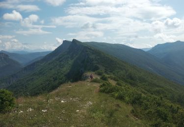
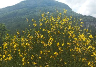
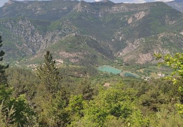
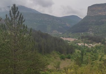
Trail Walking of 10.3 km to be discovered at Auvergne-Rhône-Alpes, Drôme, Saint-May. This trail is proposed by jean-marie.parachini.
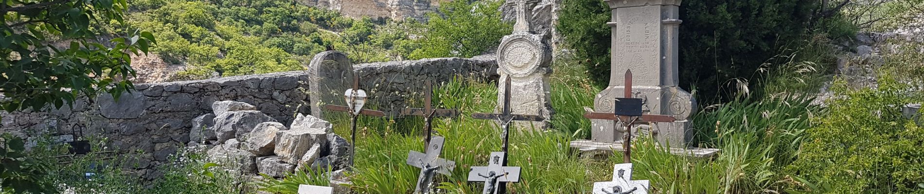
les vautours et rocher du Caïre


38 photos in total. Please click on a photo to see them all in the gallery.

Walking
Walking
Walking

Walking
Walking
Walking
Walking
Walking
Walking