


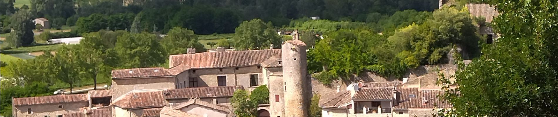
07 salavas pont de arc rieussec

randodyssée
User GUIDE
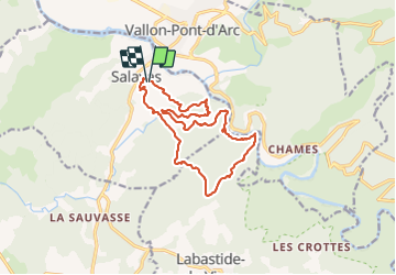

Length
16.4 km

Max alt
272 m

Uphill gradient
499 m
Km-Effort
23 km

Min alt
78 m

Downhill gradient
498 m
Boucle
Yes
Creation date :
2021-06-06 07:27:27.865
Updated on :
2021-06-06 15:08:58.403
7h40
Difficulty : Difficult

FREE GPS app for hiking
 SityTrail
IGN / Geographical institutes
SityTrail Plus
The world is yours!
About
Trail Walking of 16.4 km to be discovered at Auvergne-Rhône-Alpes, Ardèche, Salavas. This trail is proposed by randodyssée.
Description
gene. 060621
3 sangles
Photos


Positioning
Country:
France
Region :
Auvergne-Rhône-Alpes
Department/Province :
Ardèche
Municipality :
Salavas
Location:
Unknown
Start:(Dec)
Start:(UTM)
610088 ; 4916470 (31T) N.
Comments