


Vallée Salindrenque

nadinebondoux
User GUIDE
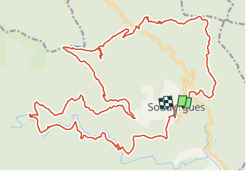

Length
19.4 km

Max alt
811 m

Uphill gradient
796 m
Km-Effort
30 km

Min alt
365 m

Downhill gradient
797 m
Boucle
Yes
Creation date :
2021-06-06 07:46:06.371
Updated on :
2021-06-06 15:19:48.879
6h20
Difficulty : Difficult

FREE GPS app for hiking
 SityTrail
IGN / Geographical institutes
SityTrail Plus
The world is yours!
About
Trail Walking of 19.4 km to be discovered at Occitania, Gard, Soudorgues. This trail is proposed by nadinebondoux.
Description
depart Soudorgues
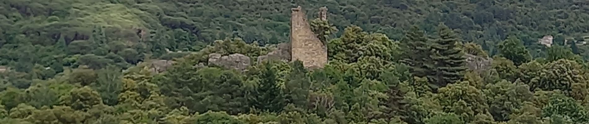
Photos


26 photos in total. Please click on a photo to see them all in the gallery.
Positioning
Country:
France
Region :
Occitania
Department/Province :
Gard
Municipality :
Soudorgues
Location:
Unknown
Start:(Dec)
Start:(UTM)
566405 ; 4879201 (31T) N.
Comments