


Neuillé-Pont-Pierre - la Gare - 13.2km 95m 3h00 - 2021 06 06

Orcal37
User GUIDE
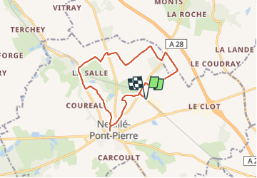

Length
13.2 km

Max alt
123 m

Uphill gradient
94 m
Km-Effort
14.4 km

Min alt
80 m

Downhill gradient
94 m
Boucle
Yes
Creation date :
2021-06-06 12:59:09.992
Updated on :
2021-06-06 20:28:49.635
3h00
Difficulty : Easy

FREE GPS app for hiking
 SityTrail
IGN / Geographical institutes
SityTrail Plus
The world is yours!
About
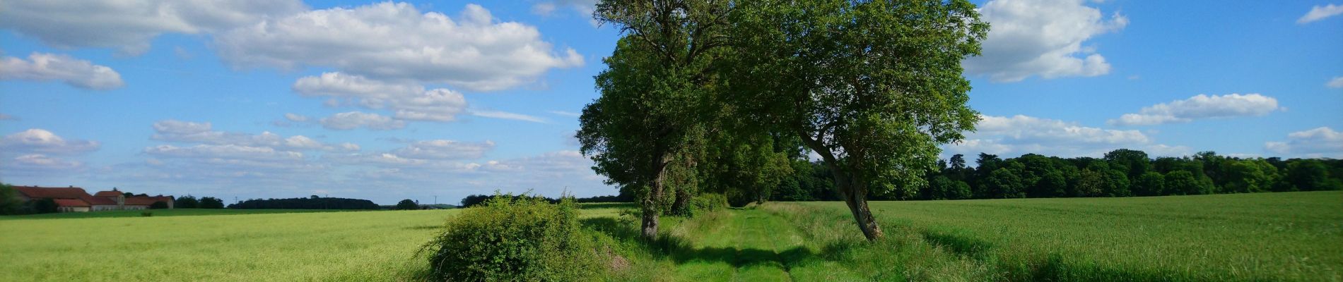
Trail Walking of 13.2 km to be discovered at Centre-Loire Valley, Indre-et-Loire, Neuillé-Pont-Pierre. This trail is proposed by Orcal37.
Description
Neuillé-Pont-Pierre - la Gare (variante PR) - 13.2km 95m 3h00 - 2021 06 06
Photos


Positioning
Country:
France
Region :
Centre-Loire Valley
Department/Province :
Indre-et-Loire
Municipality :
Neuillé-Pont-Pierre
Location:
Unknown
Start:(Dec)
Start:(UTM)
316736 ; 5270083 (31T) N.
Comments