


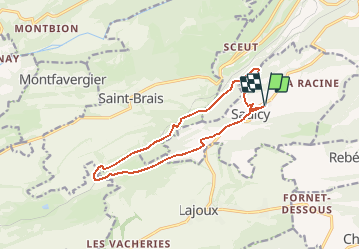


7.3 km | 10.2 km-effort


User


FREE GPS app for hiking
 SityTrail
IGN / Geographical institutes
SityTrail World
The world is yours!
Trail Walking of 12.9 km to be discovered at Jura, District de Delémont, Saulcy. This trail is proposed by duamerg.
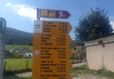
De Saulcy rejoindre 'sur les roches' en suivant les panneaux
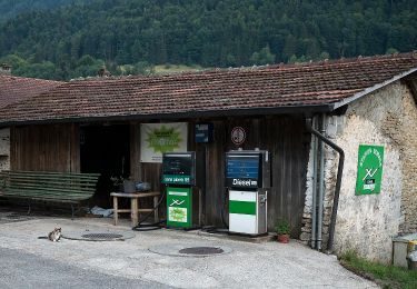
Descendre dans la combe. Restaurant de la gare.
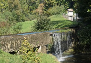
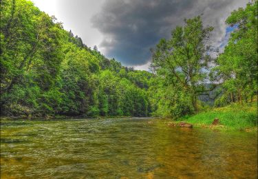
Suivre les panneaux 'combe Tabeillon' pour trouver un joli étang, des gorges et une barre rocheuse.
Forte montée pour retrouver le plateau de Saulcy.
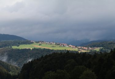
Belle ballade intéressante et variée dans un vallon un peu inconnu.
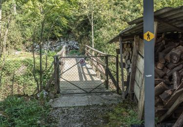
Voir photos.
On foot
On foot

On foot
On foot
On foot
On foot
On foot
On foot
On foot