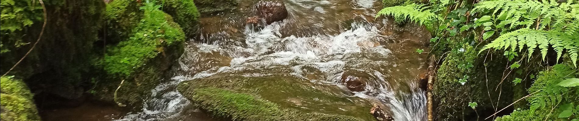
07-06-21 Reherrey- chalet des meules- col de xiard- chalet de l'avuxon- source chaude

annefrance70
User
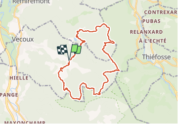

Length
19.7 km

Max alt
856 m

Uphill gradient
635 m
Km-Effort
28 km

Min alt
489 m

Downhill gradient
643 m
Boucle
Yes
Creation date :
2021-06-07 08:04:54.458
Updated on :
2021-06-07 16:14:21.665
5h18
Difficulty : Medium

FREE GPS app for hiking
 SityTrail
IGN / Geographical institutes
SityTrail Plus
The world is yours!
About
Trail Walking of 19.7 km to be discovered at Grand Est, Vosges, Vecoux. This trail is proposed by annefrance70.
Photos


Positioning
Country:
France
Region :
Grand Est
Department/Province :
Vosges
Municipality :
Vecoux
Location:
Unknown
Start:(Dec)
Start:(UTM)
326140 ; 5315663 (32T) N.
Comments