


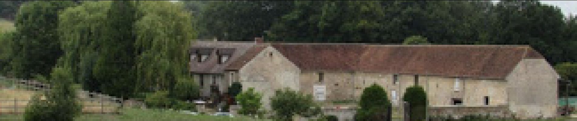
Retour depuis la ferme de la Tueterie à Château pour le 400ème

VANDERPUTTENMi
User GUIDE
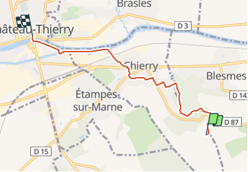

Length
5.1 km

Max alt
153 m

Uphill gradient
33 m
Km-Effort
5.9 km

Min alt
57 m

Downhill gradient
124 m
Boucle
No
Creation date :
2021-06-09 11:03:51.116
Updated on :
2021-06-09 17:57:18.417
1h16
Difficulty : Medium

FREE GPS app for hiking
 SityTrail
IGN / Geographical institutes
SityTrail Plus
The world is yours!
About
Trail Walking of 5.1 km to be discovered at Hauts-de-France, Aisne, Chierry. This trail is proposed by VANDERPUTTENMi.
Photos

Positioning
Country:
France
Region :
Hauts-de-France
Department/Province :
Aisne
Municipality :
Chierry
Location:
Unknown
Start:(Dec)
Start:(UTM)
532647 ; 5430708 (31U) N.
Comments