


Marray - 2 boucles - 19.2km 245m 5h05 (30mn) - 2021 06 09

Orcal37
User GUIDE
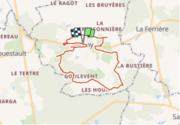

Length
19.2 km

Max alt
187 m

Uphill gradient
248 m
Km-Effort
22 km

Min alt
101 m

Downhill gradient
243 m
Boucle
Yes
Creation date :
2021-06-09 08:58:34.569
Updated on :
2021-06-09 18:27:20.555
5h05
Difficulty : Medium

FREE GPS app for hiking
 SityTrail
IGN / Geographical institutes
SityTrail Plus
The world is yours!
About
Trail Walking of 19.2 km to be discovered at Centre-Loire Valley, Indre-et-Loire, Marray. This trail is proposed by Orcal37.
Description
Marray - 2 boucles 15.8km et 3.4km - 19.2km 245m 5h05 (30mn) - 2021 06 09
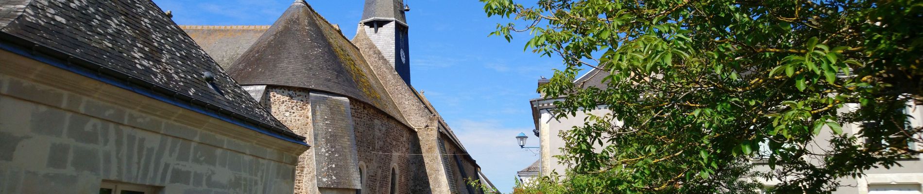
Photos
 - 2021 06 09 - Photo 1")
 - 2021 06 09 - Photo 2")
 - 2021 06 09 - Photo 3")
 - 2021 06 09 - Photo 4")
 - 2021 06 09 - Photo 5")
 - 2021 06 09 - Photo 6")
 - 2021 06 09 - Photo 7")
 - 2021 06 09 - Photo 8")
 - 2021 06 09 - Photo 9")
 - 2021 06 09 - Photo 10")
 - 2021 06 09 - Photo 11")
 - 2021 06 09 - Photo 12")
Positioning
Country:
France
Region :
Centre-Loire Valley
Department/Province :
Indre-et-Loire
Municipality :
Marray
Location:
Unknown
Start:(Dec)
Start:(UTM)
327150 ; 5276771 (31T) N.
Comments