Trail Walking Mariac - Vallée des Tuiliers 14km - Photo

Vallée des Tuiliers 14km

 thonyc
thonyc

User GUIDE

© OpenStreetMap contributors
Length
Length
15.6 km
Max alt
Max alt
998 m
Uphill gradient
Uphill gradient
591 m
Km-Effort
Km-Effort  
24 km
Min alt
Min alt
540 m
Downhill gradient
Downhill gradient
590 m
Boucle
Boucle
Yes
Creation date :
2021-06-10 08:05:30.034
Updated on :
2021-06-11 05:50:42.584

(0 Reviews)

Walking
Walking
6h16
Difficulty : Medium

Scan this QR Code to open this trail in the SityTrail application

FREE GPS app for hiking

Logo SityTrail SityTrail

IGN / Geographical institutes

Download SityTrail from the App Store Download SityTrail from Google Play

Logo SityTrail SityTrail World

The world is yours!

Download SityTrail from the App Store Download SityTrail from Google Play Download SityTrail on Huawei AppGallery

About

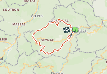
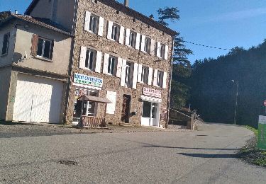
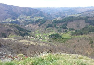
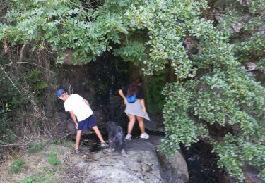
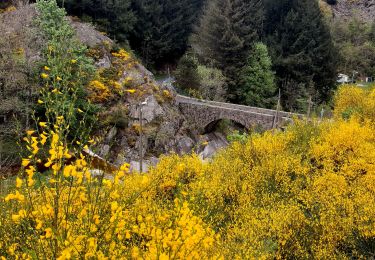
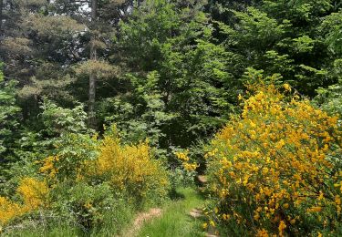
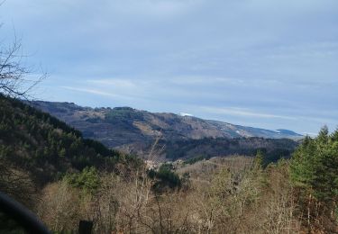
Trail Walking of 15.6 km to be discovered at Auvergne-Rhône-Alpes, Ardèche, Mariac. This trail is proposed by thonyc.

Description

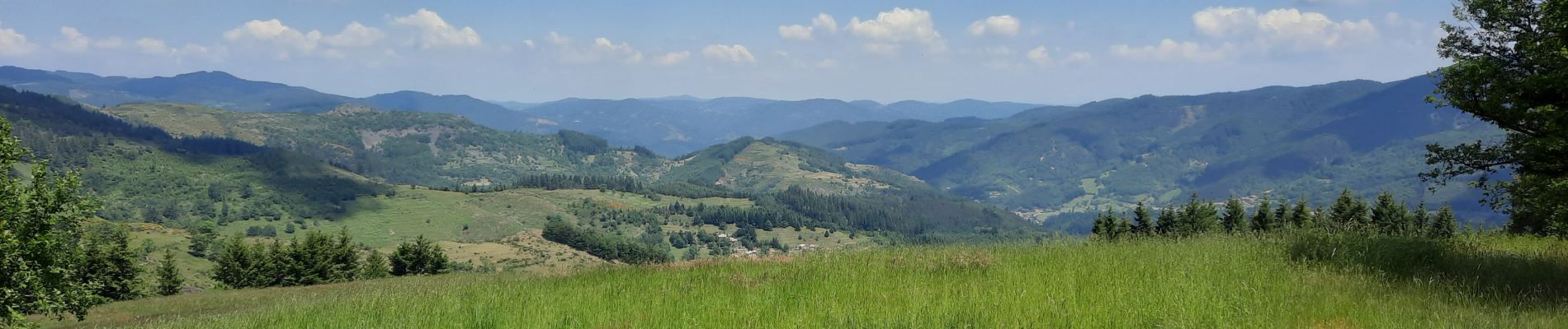
Très jolis panoramas
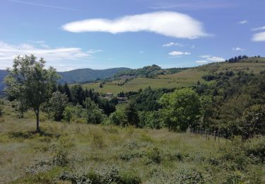
Visiter Girond, superbe !

Elevation profile

Photos

Positioning

Country:
France
Region :
Auvergne-Rhône-Alpes
Department/Province :
Ardèche
Municipality :
Mariac
Location:
Unknown
Start:(UTM)
607981 ; 4970927 (31T) N.

Trails nearby

Trail Walking Jaunac - Jaunac 10km - Photo
Walking
GUIDE
thonyc

Walking

Easy
Jaunac, Auvergne-Rhône-Alpes, Ardèche, France
9.3 km | 14 km-effort
4h 38min
Yes
Trail Walking Dornas - La ronde des hameaux  - Photo
Walking
bernadette revoux

Walking

Difficult
Dornas, Auvergne-Rhône-Alpes, Ardèche, France
18 km | 29 km-effort
5h 4min
Yes
Trail Walking Le Cheylard - Randonnée Le cheylard - Saint-Agrève - Lac Devesset - Photo
Walking
voyageur_nature

Walking

Medium
(2)
Le Cheylard, Auvergne-Rhône-Alpes, Ardèche, France
34 km | 45 km-effort
9h 55min
No
Trail Walking Le Cheylard - Le Cheylard -> Saint Martin de Valamas - Photo
Walking
voyageur_nature

Walking

Very easy
Le Cheylard, Auvergne-Rhône-Alpes, Ardèche, France
17.4 km | 22 km-effort
5h 9min
Yes
Trail Running Le Cheylard - la glorie rocher de brion - Photo
Running
olivier4307

Running

Difficult
Le Cheylard, Auvergne-Rhône-Alpes, Ardèche, France
8 km | 12.6 km-effort
1h 7min
Yes
Trail Walking Le Cheylard - Cheylard3 - Photo
Walking
hduchamp

Walking

Difficult
Le Cheylard, Auvergne-Rhône-Alpes, Ardèche, France
9.1 km | 13.7 km-effort
2h 48min
No
Trail Walking Dornas - la Ronde des hameaux  - Photo
Walking
bernadette revoux

Walking

Difficult
Dornas, Auvergne-Rhône-Alpes, Ardèche, France
23 km | 35 km-effort
5h 35min
Yes
Trail Walking Mariac - Mariac  Sentier des Tuiliers 14km - Photo
Walking
chancha

Walking

Difficult
Mariac, Auvergne-Rhône-Alpes, Ardèche, France
14.8 km | 23 km-effort
5h 48min
Yes
Trail Electric bike Accons - boucle Dolce via - Photo
Electric bike
Daniel Escomel

Electric bike

Medium
Accons, Auvergne-Rhône-Alpes, Ardèche, France
73 km | 95 km-effort
4h 29min
Yes


Close
My subscriptions