


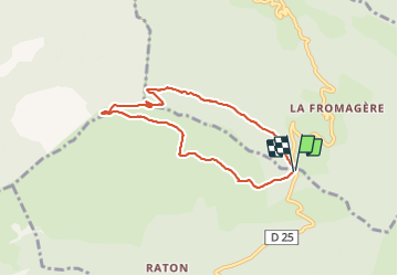

6.8 km | 13.2 km-effort

User


FREE GPS app for hiking
 SityTrail
IGN / Geographical institutes
SityTrail World
The world is yours!
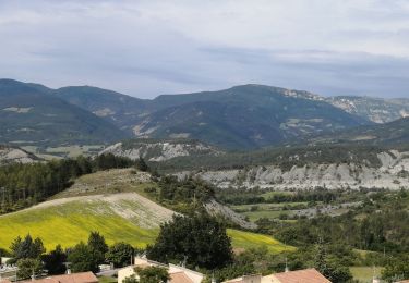
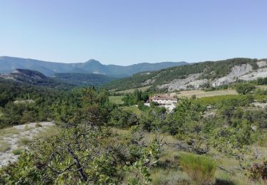
Trail Walking of 6.8 km to be discovered at Provence-Alpes-Côte d'Azur, Hautes-Alpes, Rosans. This trail is proposed by jean-marie.parachini.
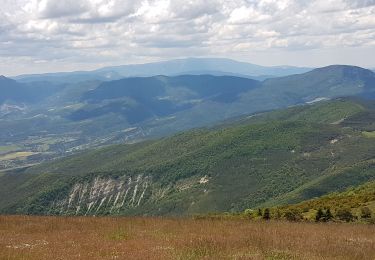
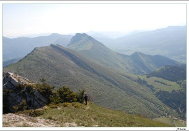
Panorama 360 ° sur les Alpes , le Dévoluy, les dentelles de montmirail, le Ventoux. Montée agréable à travers la forêt puis arrivée sur le sommet où l on peut se promener sur la crête. Parcours jalonné d une belle végétation, gentianes, lin bleu, cirses, campanules, heliantemes blanches, thym, lavande etc...


Walking
Walking

Road bike
Walking
Mountain bike
Walking
Walking
Walking
Walking