


2021-05-26_Couvertoirade

Christiancordin
User
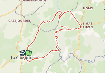

Length
24 km

Max alt
850 m

Uphill gradient
387 m
Km-Effort
29 km

Min alt
666 m

Downhill gradient
387 m
Boucle
No
Creation date :
2021-06-12 17:12:39.005
Updated on :
2021-06-12 17:25:34.582
6h40
Difficulty : Medium

FREE GPS app for hiking
 SityTrail
IGN / Geographical institutes
SityTrail Plus
The world is yours!
About
Trail On foot of 24 km to be discovered at Occitania, Aveyron, La Couvertoirade. This trail is proposed by Christiancordin.
Description
La Couvertoirade-GR 71 D-Gaillac-le Bousquet-perte de La Virenque-GR 71-la Couvertoirade.
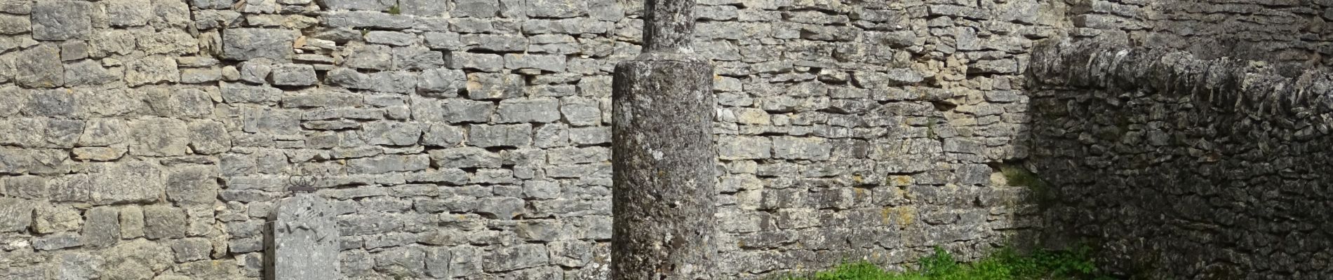
Photos


Positioning
Country:
France
Region :
Occitania
Department/Province :
Aveyron
Municipality :
La Couvertoirade
Location:
Unknown
Start:(Dec)
Start:(UTM)
525269 ; 4862116 (31T) N.
Comments