


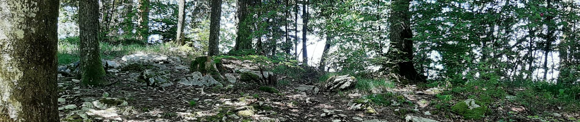
Pic de l'Aigle 20210613

cmike39
User

Length
17.2 km

Max alt
991 m

Uphill gradient
454 m
Km-Effort
23 km

Min alt
738 m

Downhill gradient
444 m
Boucle
Yes
Creation date :
2021-06-13 09:04:34.062
Updated on :
2021-06-13 16:49:48.82
5h43
Difficulty : Very difficult

FREE GPS app for hiking
 SityTrail
IGN / Geographical institutes
SityTrail Plus
The world is yours!
About
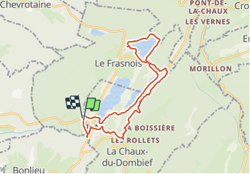
Trail Walking of 17.2 km to be discovered at Bourgogne-Franche-Comté, Jura, Le Frasnois. This trail is proposed by cmike39.
Photos

Positioning
Country:
France
Region :
Bourgogne-Franche-Comté
Department/Province :
Jura
Municipality :
Le Frasnois
Location:
Unknown
Start:(Dec)
Start:(UTM)
720655 ; 5166706 (31T) N.
Comments