


SAUT DU BOUCHOT

surceneux
User

Length
8.4 km

Max alt
613 m

Uphill gradient
242 m
Km-Effort
11.6 km

Min alt
421 m

Downhill gradient
242 m
Boucle
Yes
Creation date :
2021-06-16 13:37:49.039
Updated on :
2021-06-16 17:50:48.505
3h00
Difficulty : Easy

FREE GPS app for hiking
 SityTrail
IGN / Geographical institutes
SityTrail Plus
The world is yours!
About
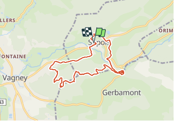
Trail Walking of 8.4 km to be discovered at Grand Est, Vosges, Sapois. This trail is proposed by surceneux.
Description
DEPART SAPOIS SALLE POLYVALENTE SAPOIS CROIX ROUGE PUIS DISQUE ROUGE SAUT DU BOUCHOT LES ROCHES DU METTEY RETOUR SUIVRE DISQUE ROUGE CERCLE JAUNE JUSQU'AU CAMPING ENSUITE DISQUE BLEU
Positioning
Country:
France
Region :
Grand Est
Department/Province :
Vosges
Municipality :
Sapois
Location:
Unknown
Start:(Dec)
Start:(UTM)
331888 ; 5320688 (32U) N.
Comments