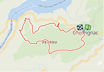
20210617 Chalvignac

Childebert
User

Length
5.3 km

Max alt
563 m

Uphill gradient
145 m
Km-Effort
7.2 km

Min alt
455 m

Downhill gradient
143 m
Boucle
Yes
Creation date :
2021-06-17 09:12:54.696
Updated on :
2021-06-17 13:33:54.994
2h47
Difficulty : Difficult

FREE GPS app for hiking
 SityTrail
IGN / Geographical institutes
SityTrail Plus
The world is yours!
About
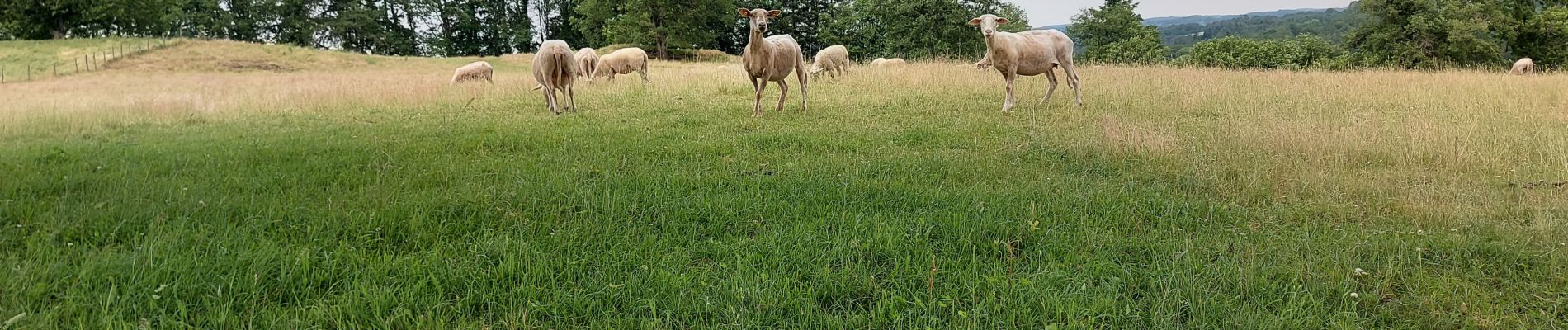
Trail Walking of 5.3 km to be discovered at Auvergne-Rhône-Alpes, Cantal, Chalvignac. This trail is proposed by Childebert.
Photos


Positioning
Country:
France
Region :
Auvergne-Rhône-Alpes
Department/Province :
Cantal
Municipality :
Chalvignac
Location:
Unknown
Start:(Dec)
Start:(UTM)
440852 ; 5009975 (31T) N.
Comments