


2021-06-18_09h03m34_2molines-en-queyras-sommet-bucher-ar

gdekoster
User
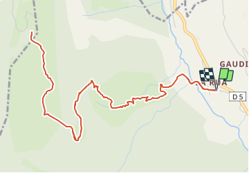

Length
8.6 km

Max alt
2231 m

Uphill gradient
601 m
Km-Effort
16.6 km

Min alt
1673 m

Downhill gradient
599 m
Boucle
Yes
Creation date :
2021-06-18 07:03:36.423
Updated on :
2021-06-18 08:19:17.51
3h46
Difficulty : Difficult

FREE GPS app for hiking
 SityTrail
IGN / Geographical institutes
SityTrail Plus
The world is yours!
About
Trail Walking of 8.6 km to be discovered at Provence-Alpes-Côte d'Azur, Hautes-Alpes, Molines-en-Queyras. This trail is proposed by gdekoster.
Positioning
Country:
France
Region :
Provence-Alpes-Côte d'Azur
Department/Province :
Hautes-Alpes
Municipality :
Molines-en-Queyras
Location:
Unknown
Start:(Dec)
Start:(UTM)
328666 ; 4955610 (32T) N.
Comments