


GR_37_AF_20_Fougeres_Chapelle-Janson_20210619

patrickdanilo
User
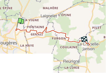

Length
9.9 km

Max alt
185 m

Uphill gradient
197 m
Km-Effort
12.5 km

Min alt
106 m

Downhill gradient
196 m
Boucle
No
Creation date :
2021-06-19 07:18:08.178
Updated on :
2022-02-09 13:49:09.06
2h28
Difficulty : Easy

FREE GPS app for hiking
 SityTrail
IGN / Geographical institutes
SityTrail Plus
The world is yours!
About
Trail Walking of 9.9 km to be discovered at Brittany, Ille-et-Vilaine, Fougères. This trail is proposed by patrickdanilo.
Description
GR®37
Cœur de la Bretagne
Du Mont-Saint-Michel (Manche) Normandie
à Camaret-sur-Mer (Finistère) Bretagne
780km
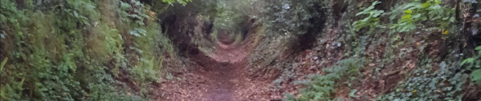
Photos


Positioning
Country:
France
Region :
Brittany
Department/Province :
Ille-et-Vilaine
Municipality :
Fougères
Location:
Unknown
Start:(Dec)
Start:(UTM)
634439 ; 5358149 (30U) N.
Comments