


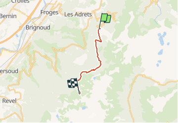
J1: Prapoutel-refuge Jean Collet
© OpenStreetMap contributors


5h26
Difficulty : Very difficult


Length
12.1 km
Max alt
2007 m
Uphill gradient
1034 m
Km-Effort
24 km
Min alt
1270 m
Downhill gradient
434 m
Boucle
No
Creation date :
2021-06-21 14:50:38.945
Updated on :
2021-06-28 11:53:47.645
5h26
Difficulty : Very difficult
FREE GPS app for hiking
 SityTrail
IGN / Geographical institutes
SityTrail Plus
The world is yours!
About
Trail Walking of 12.1 km to be discovered at Auvergne-Rhône-Alpes, Isère, Les Adrets. This trail is proposed by Christelle Blanckaert.
Description
en passant par Le Rafour?
Positioning
Country:
France
Region :
Auvergne-Rhône-Alpes
Department/Province :
Isère
Municipality :
Les Adrets
Location:
Unknown
Start:(Dec)
Start:(UTM)
734930 ; 5015789 (31T) N.
Comments