


Urbeis Le chemin de la Résistance et de la Liberté

oscar1
User
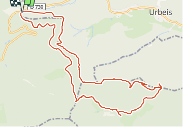

Length
13.5 km

Max alt
859 m

Uphill gradient
650 m
Km-Effort
22 km

Min alt
486 m

Downhill gradient
645 m
Boucle
Yes
Creation date :
2021-06-21 07:07:42.493
Updated on :
2021-06-23 08:31:31.379
4h56
Difficulty : Very difficult

FREE GPS app for hiking
 SityTrail
IGN / Geographical institutes
SityTrail Plus
The world is yours!
About
Trail Walking of 13.5 km to be discovered at Grand Est, Bas-Rhin, Urbeis. This trail is proposed by oscar1.
Positioning
Country:
France
Region :
Grand Est
Department/Province :
Bas-Rhin
Municipality :
Urbeis
Location:
Unknown
Start:(Dec)
Start:(UTM)
364951 ; 5354137 (32U) N.
Comments