


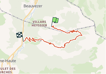
Villard Heyssier_ gorges st Pierre_pont d'Ondres

bernir
User

Length
15.2 km

Max alt
2013 m

Uphill gradient
765 m
Km-Effort
26 km

Min alt
1100 m

Downhill gradient
985 m
Boucle
No
Creation date :
2021-06-23 07:01:24.152
Updated on :
2021-06-28 17:11:21.577
6h29
Difficulty : Difficult

FREE GPS app for hiking
 SityTrail
IGN / Geographical institutes
SityTrail Plus
The world is yours!
About
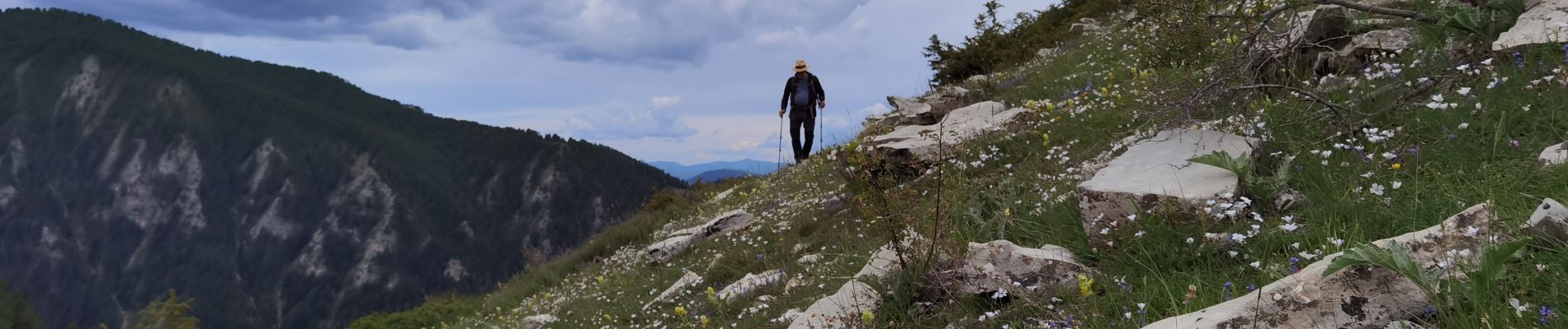
Trail Walking of 15.2 km to be discovered at Provence-Alpes-Côte d'Azur, Alpes-de-Haute-Provence, Beauvezer. This trail is proposed by bernir.
Photos


Positioning
Country:
France
Region :
Provence-Alpes-Côte d'Azur
Department/Province :
Alpes-de-Haute-Provence
Municipality :
Beauvezer
Location:
Unknown
Start:(Dec)
Start:(UTM)
309052 ; 4888576 (32T) N.
Comments