


210625eau

michelfehrenbach
User
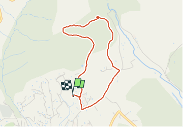

Length
4.3 km

Max alt
589 m

Uphill gradient
160 m
Km-Effort
6.5 km

Min alt
432 m

Downhill gradient
162 m
Boucle
Yes
Creation date :
2021-06-26 06:14:19.106
Updated on :
2021-06-26 07:44:55.55
1h16
Difficulty : Medium

FREE GPS app for hiking
 SityTrail
IGN / Geographical institutes
SityTrail Plus
The world is yours!
About
Trail Walking of 4.3 km to be discovered at Provence-Alpes-Côte d'Azur, Alpes-de-Haute-Provence, Manosque. This trail is proposed by michelfehrenbach.
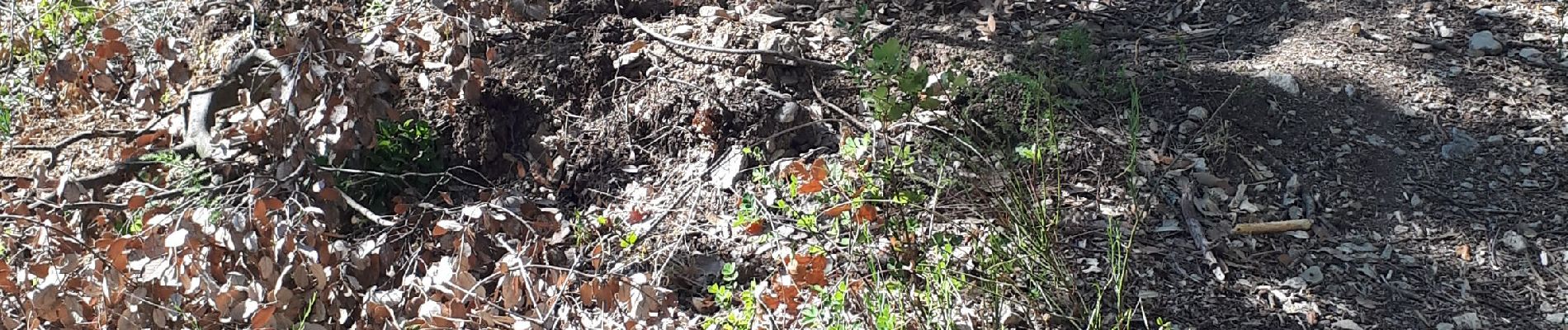
Photos


Positioning
Country:
France
Region :
Provence-Alpes-Côte d'Azur
Department/Province :
Alpes-de-Haute-Provence
Municipality :
Manosque
Location:
Unknown
Start:(Dec)
Start:(UTM)
724004 ; 4858557 (31T) N.
Comments