


la Bérarde/refuge de la Pilatte

geoffrayLayeux
User
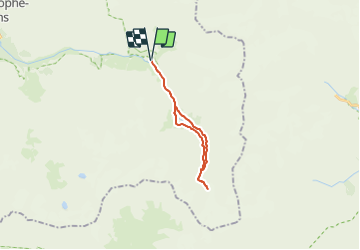

Length
19.5 km

Max alt
2576 m

Uphill gradient
902 m
Km-Effort
31 km

Min alt
1711 m

Downhill gradient
902 m
Boucle
Yes
Creation date :
2021-06-26 12:01:30.393
Updated on :
2021-06-26 12:02:23.884
7h09
Difficulty : Very difficult

FREE GPS app for hiking
 SityTrail
IGN / Geographical institutes
SityTrail Plus
The world is yours!
About
Trail Walking of 19.5 km to be discovered at Auvergne-Rhône-Alpes, Isère, Saint-Christophe-en-Oisans. This trail is proposed by geoffrayLayeux.
Positioning
Country:
France
Region :
Auvergne-Rhône-Alpes
Department/Province :
Isère
Municipality :
Saint-Christophe-en-Oisans
Location:
Unknown
Start:(Dec)
Start:(UTM)
286406 ; 4979007 (32T) N.
Comments